camupm
Set camera up vector for axesm-based map using geographic coordinates
Syntax
camupm(lat,long)

[x,y,z] = camupm(lat,long)
Description
camupm(lat,long) sets the axes
CameraUpVector property of
the current axesm-based map to
the position specified in geographic coordinates.
The inputs lat and
long are assumed to be in the
angle units of the current
axesm-based map.
[x,y,z] = camupm(lat,long) returns
the camera position in the projected Cartesian coordinate system.
Examples
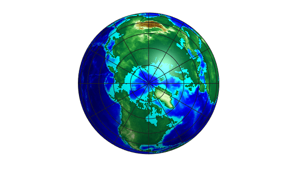
Load elevation data and a geographic cells reference object for the world. Display the data on a globe using a colormap appropriate for elevation data. Add a light source.
load topo60c

figure
axesm("globe",galt=0)
geoshow(topo60c,topo60cR,DisplayType="texturemap")
gridm(glinestyle='-')
axis off
demcmap(topo60c)

camlight
material(0.6*[1 1 1])
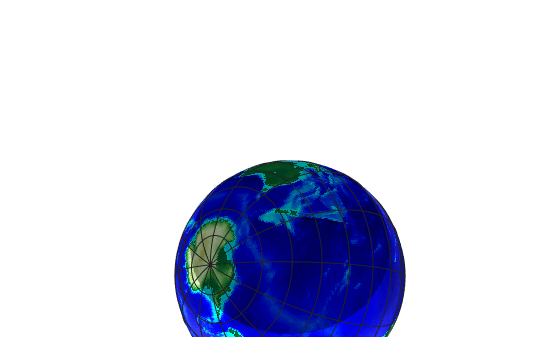
Control the view by specifying the camera target, camera up vector, camera position, and camera view angle.
Specify the camera target and the camera up vector using a point near northern Australia.
Specify the camera position using a point near New Zealand. Specify the camera height as one Earth radius above Earth.
Specify the field of view by setting the
CameraViewAngleproperty of the axes.
tlat = -13;
tlon = 132;
camtargm(tlat,tlon,0)
camupm(tlat,tlon)

camposm(-42,179,1)

ax = gca;
ax.CameraViewAngle = 75;
Version History
Introduced before R2006a