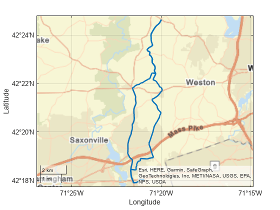
geolineshape
Description
A geolineshape object represents a line or multiline in
geographic coordinates. A multiline is an individual line shape that
contains a set of separate lines.
To represent a line or multiline in planar coordinates, use a maplineshape object
instead.
Creation
To create geolineshape objects, either:
Import line data in geographic coordinates as a geospatial table using the
readgeotablefunction, and then query theShapevariable of the table.Use the
geolineshapefunction (described here).
Description
Input Arguments
Properties
Object Functions
Examples
Version History
Introduced in R2021b
