3D Scenarios
R2026bThe 3D Scenarios add-on enables you to model, visualize, and simulate scenarios in a 3D geographic environment. Create a scenario with terrain from DTED files and buildings from OpenStreetMap® files. Visualize the scenario using interactive 3D globe viewers. Add car, aircraft, and generic actors with waypoint trajectories, then run simulations that analyze line-of-sight visibility or find geometric ray paths between the actors. Query actor poses in specified reference frames as the simulation progresses.
Note
Install the 3D Scenarios add-on by using the install3DScenarios function.
Functions
Topics
- Structure of a 3D Scenario
A scenario consists of a scene, actors, analyses, and viewers that represent and simulate a geographic environment. (Since R2026b)
- Simulate 3D Scenarios
Simulate a scenario by advancing through time steps that move actors, recalculate analyses, and update visuals. (Since R2026b)
- Specify Coordinate Conventions for 3D Scenarios
Control how the scenario represents position, orientation, and motion data by specifying the reference frame, axes convention, orientation basis, and height reference. (Since R2026b)
Featured Examples
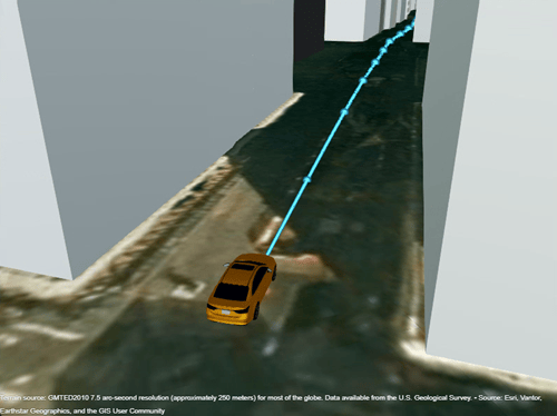
Create 3D Scenarios
Model, visualize, and simulate actors in a 3D geographic environment.
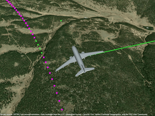
Visualize Aircraft Line-of-Sight over Terrain
Compute and visualize line-of-sight visibility of an aircraft from a ground location over terrain.
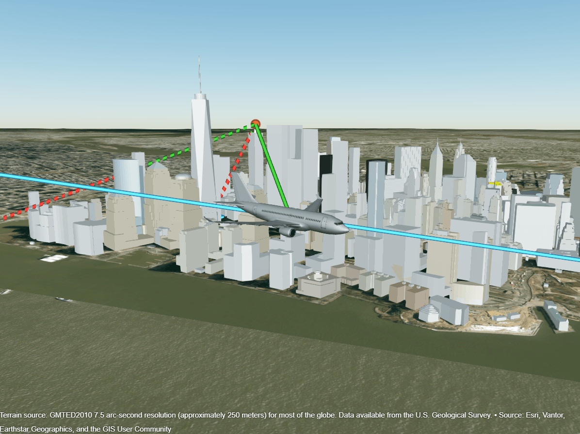
Analyze Line-of-Sight Visibility in Urban Scenario
Evaluate line-of-sight visibility for moving actors in an urban environment.
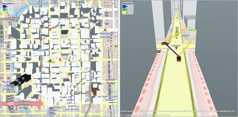
Analyze Urban V2V Connectivity Using Proximity and Ray Tracing
Analyze vehicle-to-vehicle connectivity in an urban environment using proximity and geometric ray tracing.
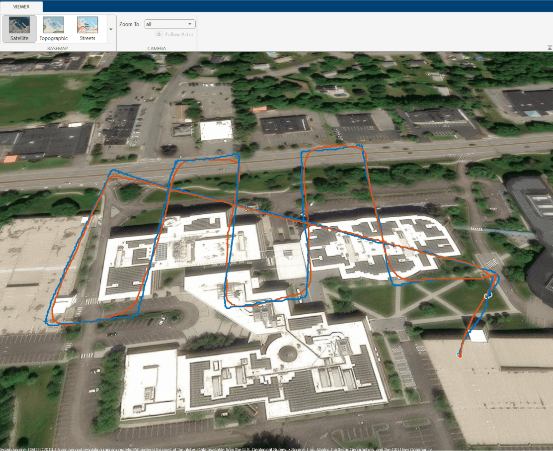
Visualize and Play Back MAVLink Flight Log in 3D Scenario
Load a telemetry log (TLOG) containing MAVLink packets into MATLAB, then extract messages for plotting

