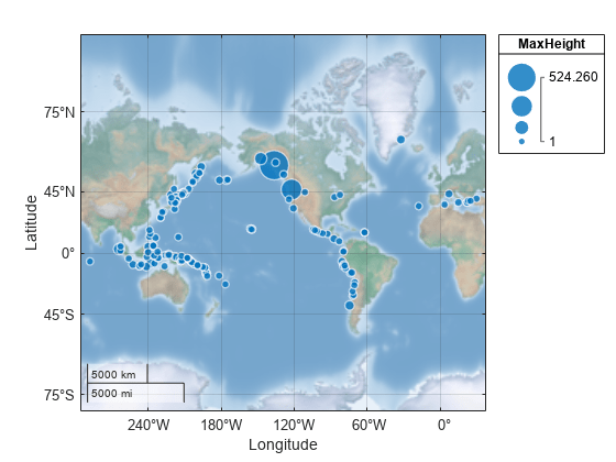
geobasemap
Set or query basemap
Syntax
Description
geobasemap sets the
basemapBasemap property for the current geographic axes or
geographic bubble chart to the value specified by basemap.
If the current axes is not a geographic axes or geographic bubble chart, or if
there is no current axes, then the function creates a new geographic axes with
the specified basemap. When you use this syntax, you do not need to enclose the
basemap argument in quotes, for example
geobasemap topographic.
geobasemap( sets the basemap
for the current geographic axes or chart. When you use this syntax, enclose the
basemap)basemap argument in single or double quotes, for
example geobasemap('topographic').
bmap = geobasemapBasemap property for the current geographic axes or
chart.
bmap = geobasemap(gx)gx.
Examples
Input Arguments
Tips
Create custom basemaps from a URL or MBTiles file by using the
addCustomBasemap(Mapping Toolbox) function.When displaying a figure that contains a basemap, ensure that the attribution is visible. If the attribution is not readable, then display the attribution somewhere else on the figure, such as in the title. You can get the attribution text by using the
readBasemapImage(Mapping Toolbox) function.Add a basemap picker to the axes toolbar by using the
addToolbarMapButton(Mapping Toolbox) function.


