Scenario Generation
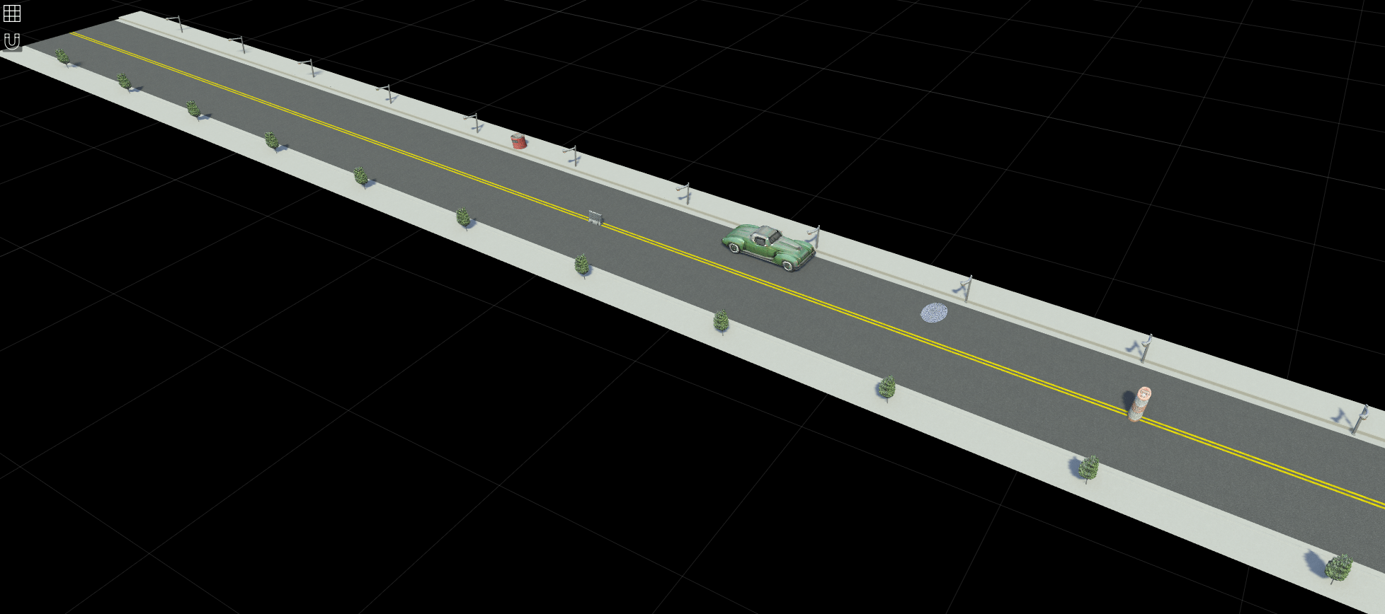
In automated driving applications, scenario generation is the process of building virtual scenarios from real-world vehicle data recorded from global positioning system (GPS), inertial measurement unit (IMU), camera, and lidar sensors. Automated Driving Toolbox™ provides functions and tools to automate scenario generation process. You can preprocess sensor data, extract roads, localize actors, and get actor trajectories to create an accurate digital twin of a real-world scenario. Simulate the generated scenario and test your automated driving algorithms against real-world data.
To generate scenarios from recorded sensor data, download the Scenario Builder for Automated Driving Toolbox support package from the Add-On Explorer. For more information on downloading add-ons, see Get and Manage Add-Ons.
Apps
| Driving Log Analyzer | Import, visualize, and synchronize real-world driving sensor data (Since R2025b) |
Functions
Topics
Getting Started
- Overview of Scenario Generation from Recorded Sensor Data
Learn the basics of generating scenarios from recorded sensor data. - Coordinate Systems for Scenario Generation
Learn the coordinate system used in Scenario Builder for Automated Driving Toolbox support package workflows. - Optional Set Up for Scenario Generation
Learn how to download and install optional third-party software for Scenario Builder for Automated Driving Toolbox support package. - Extract Key Scenario Events from Recorded Sensor Data
Extract key scenario events from recorded sensor data.
Scene Generation
- Generate RoadRunner Scene Using Processed Camera Data and GPS Data
Generate RoadRunner scene using labeled camera images and GPS data. - Generate RoadRunner Scene from Recorded Lidar Data
Generate RoadRunner HD map from recorded lidar data using pretrained deep learning model. - Generate High Definition Scene from Lane Detections and OpenStreetMap
Generate HD road scene using recorded lane detections, GPS data, and OpenStreetMap® data. - Generate RoadRunner Scene with Traffic Signs Using Recorded Sensor Data
Generate RoadRunner scene with traffic signs using recorded sensor data. - Generate RoadRunner Scene Using Aerial Lidar Data
Generate RoadRunner scene from aerial lidar data. - Generate RoadRunner Scene Using Aerial Hyperspectral and Lidar Data
Generate RoadRunner scene from aerial hyperspectral and lidar data. - Georeference Sequence of Point Clouds for Scene Generation
Georeference sequence of point clouds for scene generation. - Transform Aerial Point Cloud for Scene Generation
Georeference aerial point cloud for scene generation.
Scenario Generation
- Ego Vehicle Localization Using GPS and IMU Fusion for Scenario Generation
Localize ego vehicle by fusing GPS and IMU sensor data to generate virtual driving scenario. - Preprocess Lane Detections for Scenario Generation
Format lane detection data to update lane specifications for scenario generation. - Smooth GPS Waypoints for Ego Localization
Create jitter-limited ego trajectory by smoothing GPS and IMU sensor data. - Generate Scenario from Actor Track Data and GPS Data
Generate ASAM OpenSCENARIO® v1.0 file using recorded actor tracklist and GPS data. - Extract Vehicle Track List from Recorded Camera Data for Scenario Generation
Extract actor track list from raw camera data for scenario generation. - Extract 3D Vehicle Information from Recorded Monocular Camera Data for Scenario Generation
Extract 3D vehicle information from recorded monocular camera data for scenario generation. - Synchronize GPS, Camera, and Actor Track Data for Scenario Generation
Synchronize multiple recorded sensor data for scenario generation. (Since R2025a)


